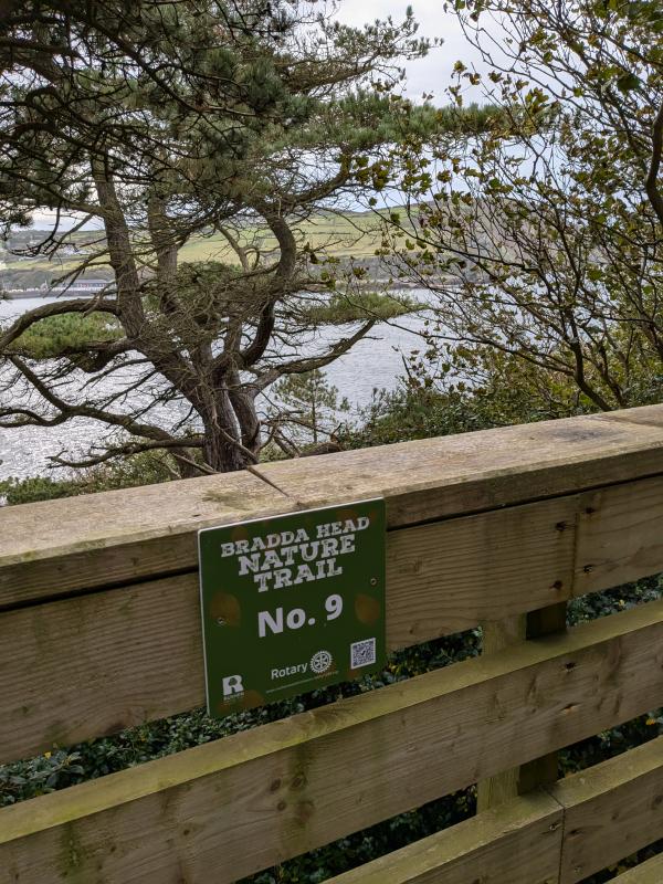
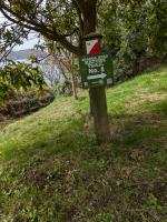
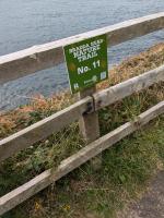
Bradda Head Nature Trail - Information Point Number 9
Information Point Number 9
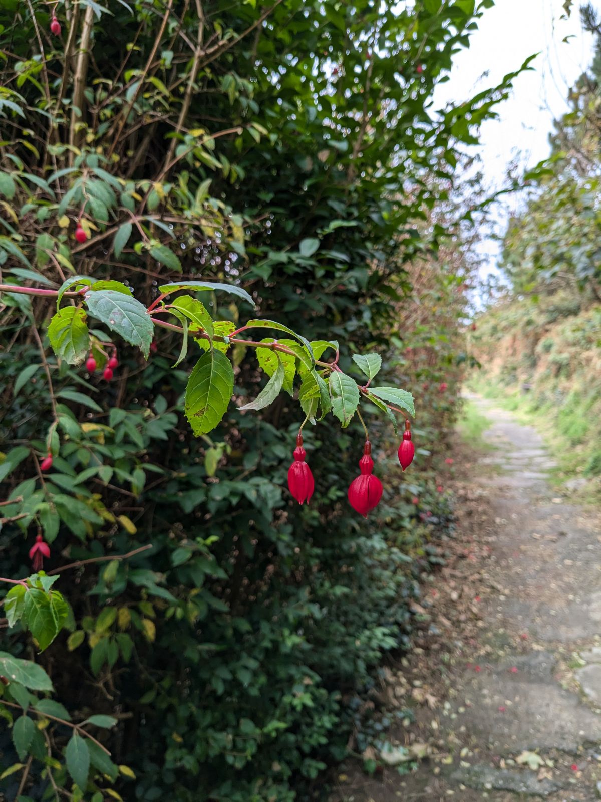
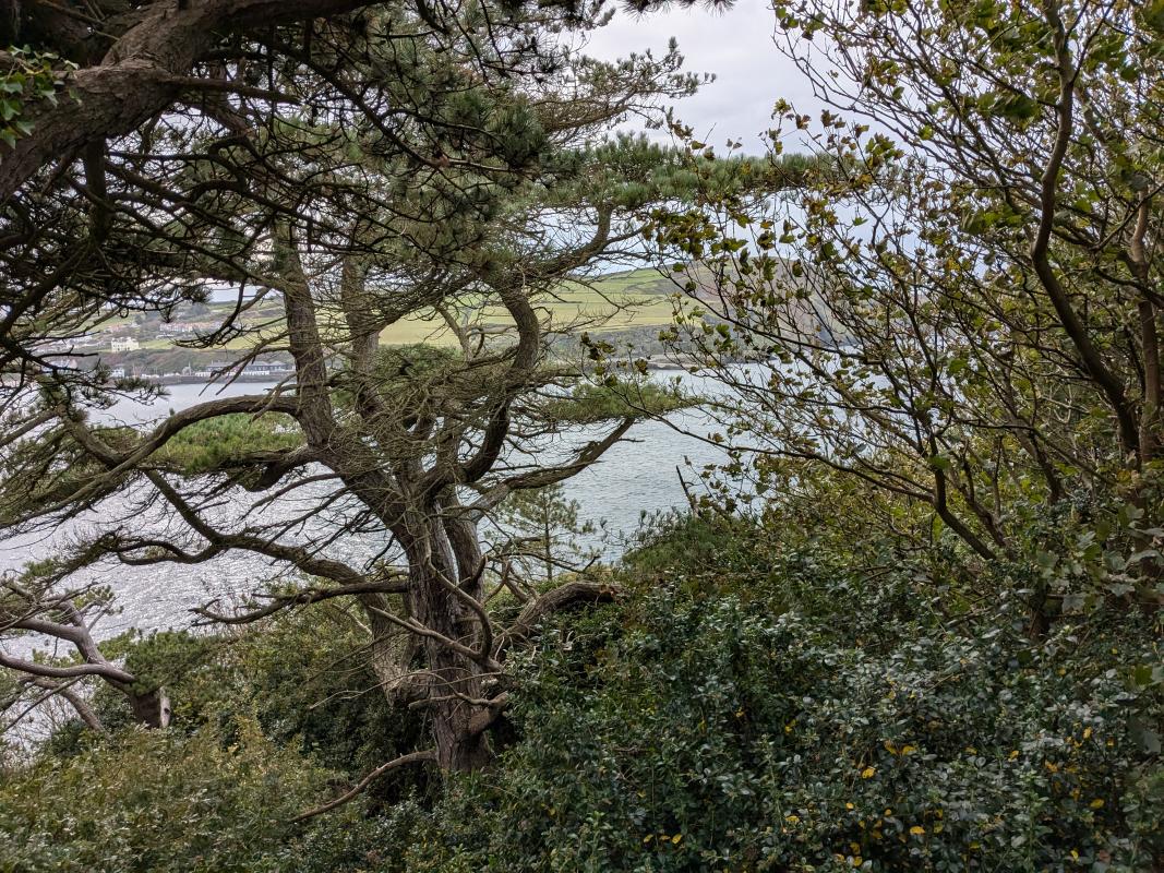
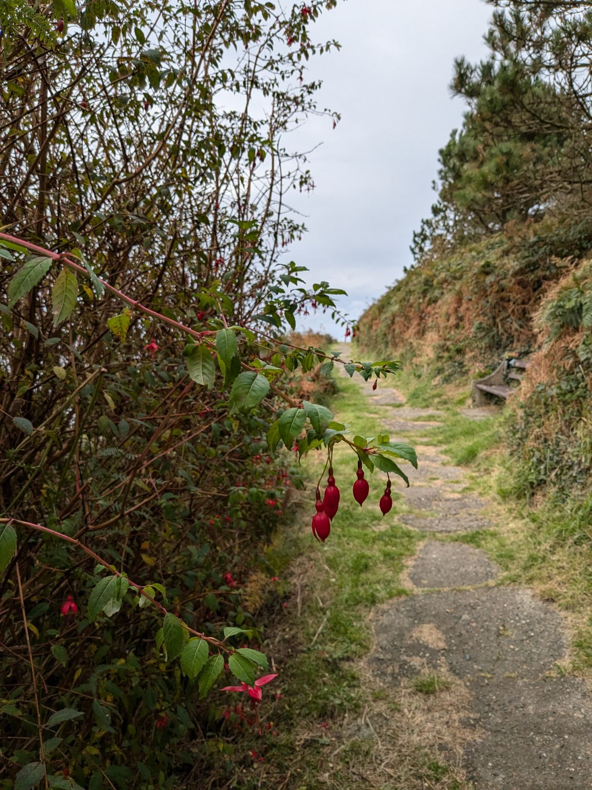
After the bridge the path leads out on to open brooghs - pronounced 'Brews' - grass slopes here overlooking the sea.
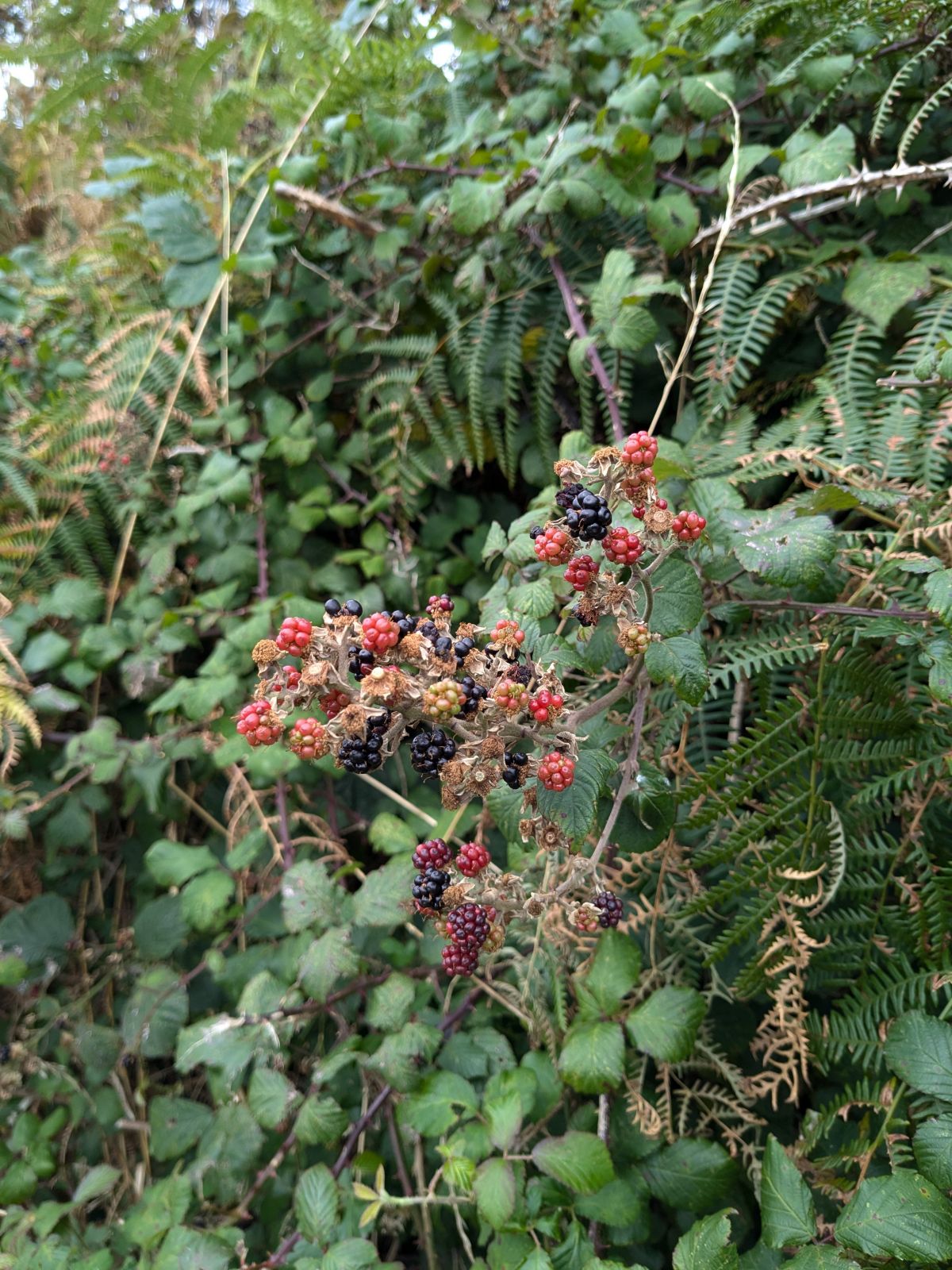
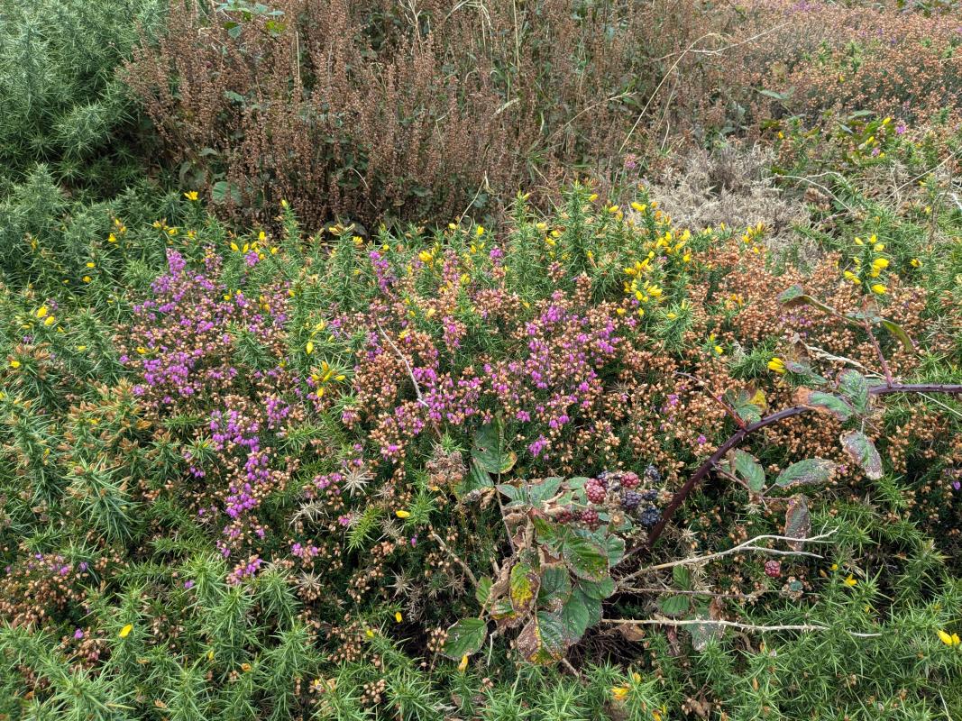
Among the native plants: Tor Grass, Wood Sage, etc., are the smaller Spring Squill, English Stonecrop and Early Hair Grass. Look out for the difference between the native, low-growing Manx Gorse and the larger ‘European’ Gorse introduced for firing and as fodder, particularly for farm horses.
As you approach the small cave on the right of the path, notice how the small plantains have become established along the path sides on the more compacted ground.
By the cave, you will find Wall Pennywort, Primroses and Bush Veronica (Hebe)
Here, look up at Milner’s Tower. Low on your left, you can just see the chimney stack of one of the mine workings on the cliff. These are on one end of the Bradda Lode, a vein of quartz with associated copper and lead.
Bradda Head Mines
Sir W.W. Smyth referred to the Bradda Lode as ‘the noblest surface exhibition of a mineral vein to be seen in Europe’. The lode is conspicuous in both faces of the Head. On the south side it is ‘a nearly vertical rib of white quartz and fault breccia’ 30 - 50 feet wide. It re-appears on the other coast, opposite Creg Harlot.
The Bradda Head Mines are probably the most ancient in the Island, the copper working having been started in prehistory. The South Bradda lead mine dates back at least to 1710 and the North Bradda mine to 1860.
The Milner Tower
On Bradda Head stands the Milner Tower - a familiar sight to all those who know Port Erin.
William Milner, the famous Liverpool manufacturer of safes lived for many years in Port Erin. The Tower is built of local slatey schist and is reputed to be in the same shape as the key to Milner’s first safe. It was erected in 1871 by public subscription and dedicated to William Milner in grateful acknowledgement of his many charities to the poor of Port Erin and his never tiring efforts for the benefit of the poor fishermen. Milner’s Tower is now a “registered” building.
Now go to Information Point Number 10 (Approximately 305 paces)
Related pages...
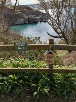
Can You Find the Bug Hotels?
more No, it's not the Fairies, but Rotary members who have installed 12 bug hotels along the nature trail in March 2025, as part of the refurbishment of the Bradda Glen Nature Trail in Port Erin. #PeopleofAction

Welcome to Bradda Head Nature Trail
more Originally created by the Rotary Club of Rushen & Western Mann as one its first community projects in 1973, the Club in partnership with the Rushen Heritage Trust has refurbished the trail in 2024
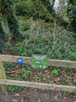
Bradda Head Nature Trail - Information Point Number 1
more Is at the Arch above the entrance to Bradda Glen
Bradda Head Nature Trail - Information Point Number 2
more Where the main path is joined by the coastal path
Bradda Head Nature Trail - Information Point Number 3
more At the bridge over the small stream
back to page above this...

Bradda Head Nature Trail
back Originally created by the Rotary Club of Rushen & Western Mann as one its first community projects in 1973, the Club in partnership with the Rushen Heritage Trust has refurbished the trail in 2024.
